 54 Reviews on Google
|
54 Reviews on Google
|  30 Reviews on Facebook
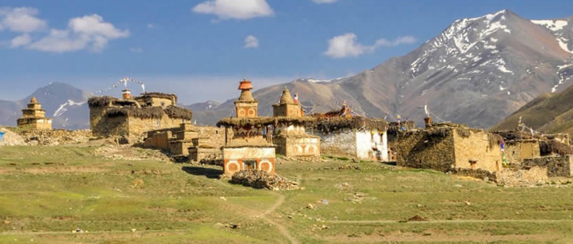
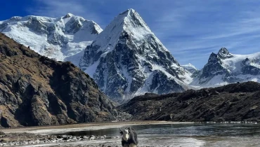
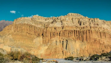
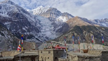
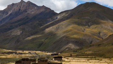
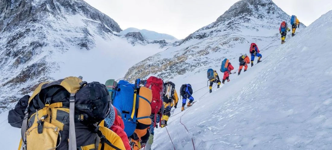
Upper Dolpo Trek is located in one of the isolated areas in Nepal. Dolpo region lies in between the Tibetan Plateau and the Dhaulagiri Himalayan range and is the highest populated land in western Nepal. The region is also one of the Restricted regions of Nepal and a special immigration permit is required to enter this area. Every year the only fixed number of foreigners are allowed to enter this area and that remains the region still a virgin. This place is mainly beautified by amazing views of mysterious monasteries and towering mountains. The area is also habitat for rare wildlife like snow leopards and blue sheep. The trekking in this route was firstly managed by the British tour operator in autumn of 1990. The Upper Dolpo Region passes through many gigantic mountains such as mount Annapurna, mount Dhaulagiri and mount Kanjiroba. Being adventurous and challenging trek, it requires fairly experienced trekkers.
Amazing Nepal Trek & Expedition presents 24 days package of Upper Dolpo Trek. Our package guarantees foods, permits, accommodation and transpiration costs during the overall trek. We even promise to offer a special discount for those trekkers who come along with groups. To make our trek successful, we need high passion and strong determination along with enthusiasms.
Trip Highlights
- UNESCO World Heritage Sites in Kathmandu Valley
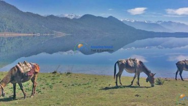
- Exploration of the serenity of Upper Dolpo Region along with beautiful Phoksundo Lake
- Being acquainted with Dolpo people and their lifestyles
- Encounter with ancient monasteries, leopards, and blue sheep
- Wonderful views of Mt. Annapurna, Dhaulagiri and Kanjiroba
Additional Information
If the suggested itinerary is not up to the mark, we can even customize your trip as per your need with a special group discount. Kindly contact us at [email protected] for detail information. You can also contact us by calling at +977-9851116042 for 24/7 support. We speak English, Hindi, and Nepali.

 WhatsApp Us


